Combining GIS, remote sensing, and data science one-year certificate equips graduates with additional in-demand skills
Mount Royal University is preparing to welcome its second cohort into the one-year post-bachelor’s Spatial Data Science Certificate program. This one-year, career-focused program is designed to equip graduates with in-demand skills in geospatial analysis, data visualization, and field data collectionThe certificate prepares students to turn Earth observation and location-based data into actionable insights, opening doors to careers in environmental consulting, resource management, urban planning, public health, business analytics and more.
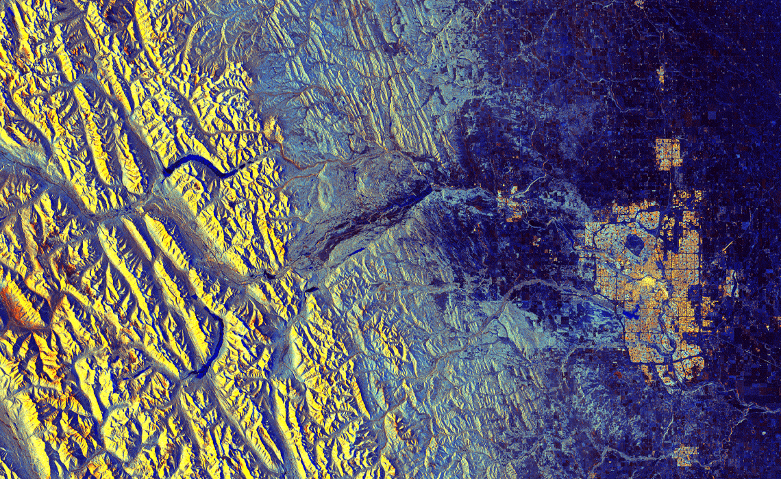
Built on the strong foundation of MRU’s Bachelor of Science —Data Science, the Spatial Data Science Certificate brings together geography, computing and data science in a highly applied learning environment. In its inaugural year, students gained hands-on experience with geographic information system (GIS) mapping, drone and satellite data collection, predictive modelling, and 3D/4D spatial visualization — demonstrating the power of combining geospatial technology with modern data science techniques. Building a professional network through close industry interaction is a key component for every student.
For students, the pace and depth of learning are defining features of the program. “Even though it’s a one-year certificate, you learn an incredible amount in that time,” says Jonah Lamoureux, a current student in the program. Lamoureux is a 2025 graduate of MRU’s Bachelor of Science — General Science.
“You go from having little or very basic experience with tools like ArcGIS Pro to a much more advanced understanding by the end of the year.”
“Students from a variety of disciplines have expressed strong interest in expanding their spatial science skills,” says Dr. Lynn Moorman, PhD, a professor in the Department of Earth and Environmental Sciences. After the success of the data science degree, launched in 2023, the certificate continues on to provide a one-year post-graduate path allowing students to build a robust geospatial skill set that meaningfully complements their undergraduate education.
Beginning in fall 2026, the program will offer 24 seats and feature in-person instruction supported by laboratory exercises, field trips, seminars and industry connections. Over the course of 10 classes (30 credits) completed in one year, students develop practical expertise in:
- Analyzing and visualizing spatial data to solve real-world problems
- Learning field data collection strategies and app development
- Developing interactive web GIS applications and automated workflows using Python, JavaScript, Jupyter Notebooks, ArcPy and APIs
- Working on applied projects with community and industry partners, gaining hands-on research and geospatial project management experience.
A strong sense of community is another hallmark of the program. “Our cohort is small and really close-knit — we help each other out a lot,” Lamoureux says. “At the same time, we work closely with our instructors throughout the year. Out of the ten courses, we only have six instructors, so you really get to know the people teaching you and learn a lot from their experience.”
Pam MacQuarrie, Associate Professor in Earth and Environmental Sciences, says the program addresses a growing skills gap in the workforce. “Many employers have skilled computer scientists and programmers, but they lack expertise in geography, spatial analysis and location-based reasoning,” she explains. “This certificate gives students a unique combination of skills that prepares them for both local and international opportunities.”
Industry engagement is woven throughout the program, helping students better understand how their skills translate beyond the classroom. “Meeting with industry professionals has made me much more confident about finding a job after graduation,” Lamoureux adds. “We’ve seen first-hand how spatial data science applies almost anywhere you can see a map — from satellites and space agencies to banking, civil planning, ecology, conservation and web programming.”
Demand for spatial data science continues to grow as organizations increasingly rely on IoT (internet of things) sensors, satellite and UAV (drone) data, and AR/VR (augmented and virtual reality) technologies for modelling and decision-making. Graduates of the program are well-positioned for roles such as:
- GIS Analyst
- Spatial Data Scientist
- Remote Sensing Specialist
- Urban or Regional Planner
- Environmental Risk Assessor
- Location Intelligence Analyst
- Public Health Geographer
- Transportation Planner
By combining hands-on geospatial technology learning with data science foundations, research projects, field experience and industry connections,, MRU’s Spatial Data Science Certificate offers students a practical, immersive and future-focused path into a rapidly growing field.